Palo Alto Horizontal Levee Pilot Project
Located on the shore of Harbor Marsh in the Palo Alto Baylands, the Palo Alto Horizontal Levee Pilot Project is the first horizontal levee to be built in the San Francisco Bay that beneficially reuses treated wastewater for irrigation. Horizontal levees are nature-based sea level rise adaptation options with multiple benefits over traditional flood-control levees. These benefits include habitat enhancement, sea level rise adaptation, and additional wastewater treatment.
The City and our project partner, the San Francisco Estuary Partnership, will gain valuable information from this Project to inform the design and construction of more horizontal levees throughout Palo Alto and the Bay Area.
The Project seeks to use treated wastewater to replace the freshwater that used to come from local creeks but has since been cutoff due to flood control channelization and urban development. The treated wastewater will provide underground irrigation to support the diverse habitats that will be restored on the horizontal levee. Click on the pins and associated arrows on the below map to see what will be restored as part of this project.
Community Engagement
Help Us Monitor Progress!
The City placed two photo monitoring stations at the project site. Help monitor progress the next time you visit the Palo Alto Baylands by snapping a quick picture and sharing it to the project’s photo timeline. Your picture will help the City document the project’s restoration progress over the next few years. To participate, take a photo at the photo monitoring stations along the Baylands Trail and submit your photo to upload@chronolog.io.
Pre-Construction BioBlitz Data
Four pre-construction bioblitz events were held between Fall 2022 and Fall 2023. A bioblitz is when a group of people come together to document as many species as possible! With the help of knowledgeable docents and the free iNaturalist app, groups of volunteers come together and photograph as many different plants, animals, and fungi as they can find.
Below are the number of different species identified during the pre-construction bioblitzes. Photos are of the most commonly found species.
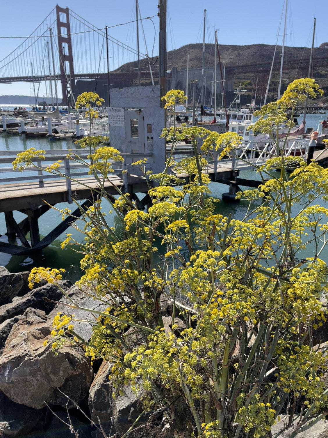
Plants - 144
Most Common Species: Fennel
27% of species observed are invasive!
Photo by: Mahimahirider
Invertebrates - 107
Most Common Species: Anise Swallowtail
Photo by: Lizgardena

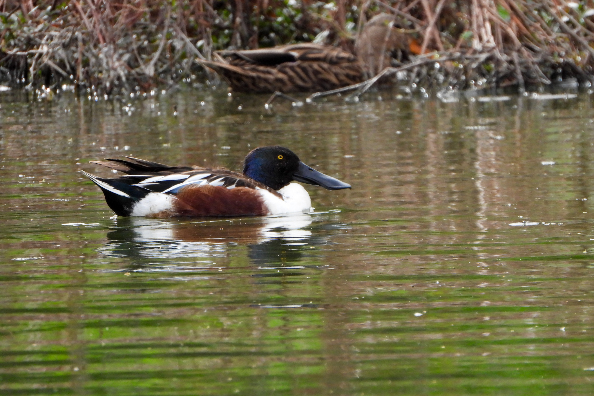
Birds - 63
Most Common Species: Northern Shoveler
1 sighting of an endangered species! Ridgeway's Rail
Photo by: Julie Ibarra
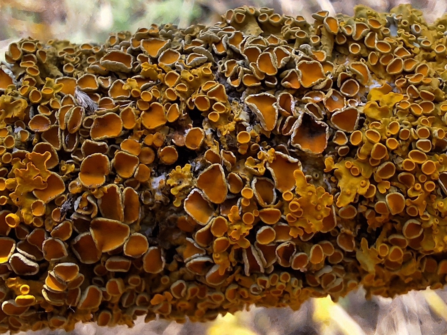
Fungi - 17
Most Common Species: Common Sunburst Linchen
Photo by: Tomasz Wilk
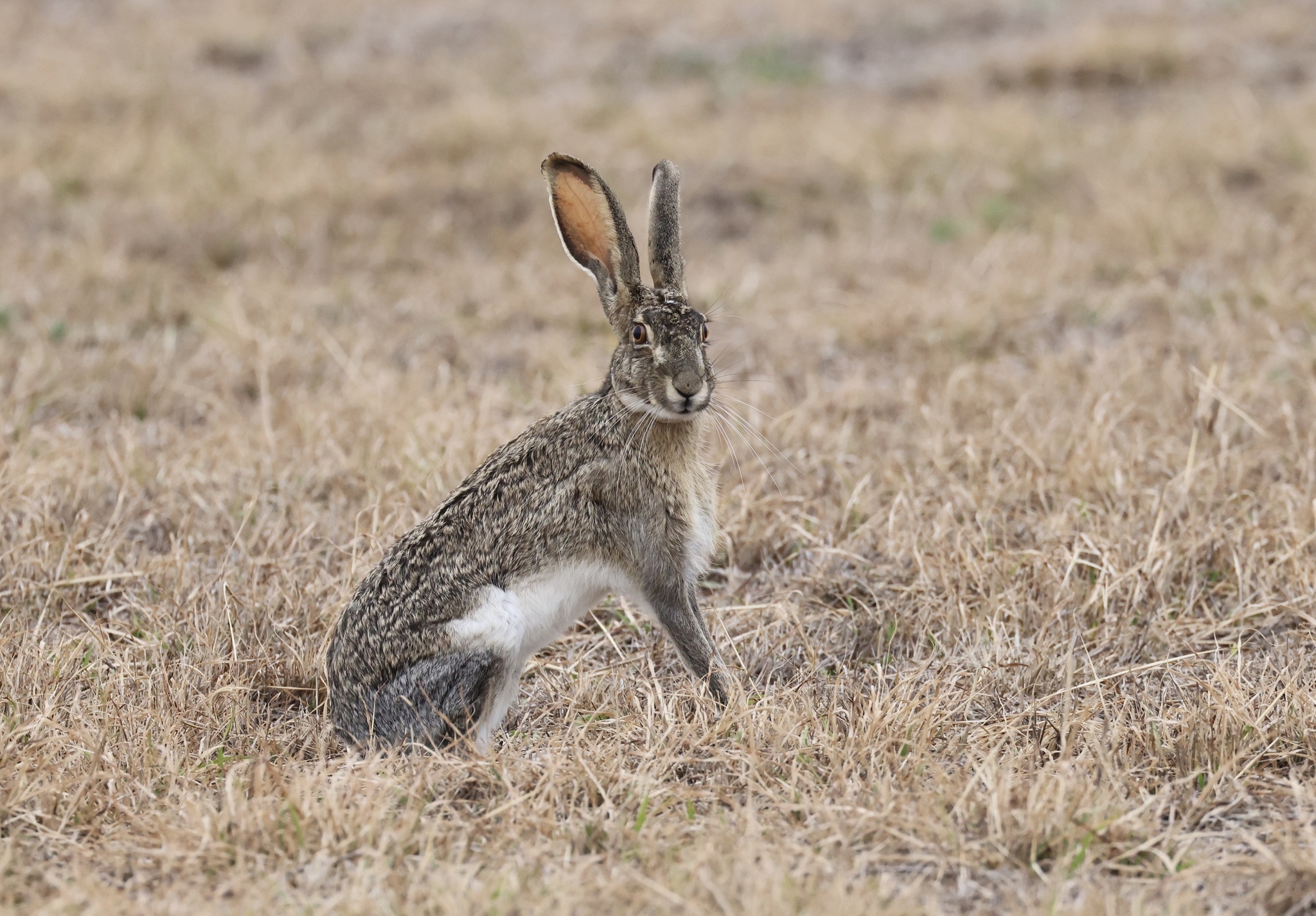
Mammals - 8
Most Common Species: Black-tailed Jackrabbit
Photo by: Rick Nirschl
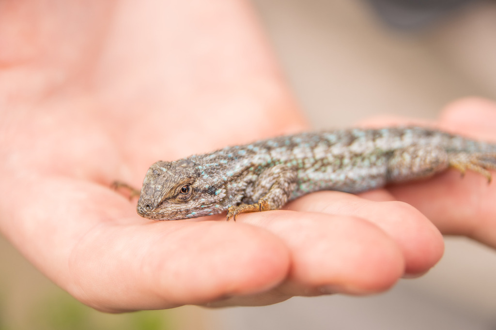
Reptiles - 3
Most Common Species: Western Fence Lizard
Photo by: Noah Brinkman
Bioblitzes provide us information on what biodiversity looks like at a specific place at a specific time. When these events are carried out with repetition over the years, we can follow the changes in biodiversity. As mentioned in the introduction to the Project, one of our goals is to enhance the habitat in Harbor Marsh by increasing biodiversity of native species. Data provided from the pre-construction bioblitzes will be compared to post-construction bioblitzes to help determine if we are meeting this goal.
Habitats at the Horizontal Levee
Fresh water in the Baylands can create transitional habitat between upland and tidal marsh ecosystems that was historically used by many marsh species for foraging, nesting, and refuge from high tides. The Palo Alto Horizontal Levee Pilot Project will increase habitat connectivity at the project site as well as increase habitat diversity by restoring freshwater marsh, wet meadow, and riparian scrub habitats to the site. These changes are expected to support increased utilization of the site by key species such as the endangered Ridgway's rail and salt marsh harvest mouse that are known to use the surrounding marsh.
Project Timeline
-
2017 - Funding Awarded
December - Funding awarded from a California Department of Water Resouces, Integrated Regional Water Management Program
-
2018 - Conceptual Design Completed
August - Conceptual design completed
November - Presentation at Parks and Recreation Commission Meeting
-
2019 - Preliminary Design Report
May - Funding awarded from the Environmental Protection Agency Climate Ready Estuaries Program
December - Preliminary Design Report completed (for original location)
-
2020 - New Preliminary Design Completed
February - Presentation at Parks and Recreation Commission Meeting
March - Project included in Transforming Shorelines Collaborative
May - Funding awarded from California State Coastal Conservancy Proposition I
September - Project included in Palo Alto Sea Level Rise Project Updates public webinar
December - Preliminary Design Report completed (for new/current location)
-
2021 - Funding Awarded from EPA
January - Project included in Engaging Youth and Diverse Communities in Climate Change Resiliency Workshop
May - Funding awarded from Environmental Protection Agency Water Quality Improvement Fund
November - Project included in Public Access and Habitat Enhancement public workshop
-
2022 - 60% Design Complete
April - 60% Design completed
June - Project included in Palo Alto Sea Level Rise Activities presentation to the San Francisquito Creek Joint Powers Authority
July - Presentation at Parks and Recreation Commission Meeting
December - California Environmental Quality Act evaluation completed
-
2023 - Final Design Complete
01/2023
- 12/2023February - Submitted applications to resource agencies for construction permits
March - Park Improvement Ordinance recommended unanimously by Parks and Recreation Commission
-
2024
01/2024
- 12/2024January - Park Improvement Ordinance adopted by City Council
March - Final Design Completed
-
2025 - 2026 - Construction
01/2025
- 12/2026Anticipated construction of horizontal levee
Additional Resources
Project Partners and Funders
Made possible by grants from the California Department of Water Resources, the Environmental Protection Agency, and the California State Coastal Conservancy.
The City of Palo Alto has partnered with the following agencies to bring the Palo Alto Horizontal Levee Pilot Project to the Palo Alto Baylands:
- San Francisco Estuary Partnership - See their website for another perspective on this Project.
- Environmental Science Associates
Contact the City's Project Manager for more information at Samantha.Engelage@CityofPaloAlto.org